 Español
 Português
 Deutsch
 Français


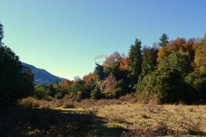
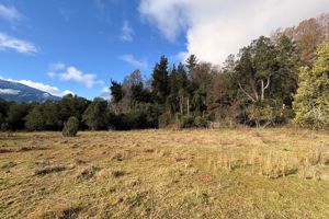
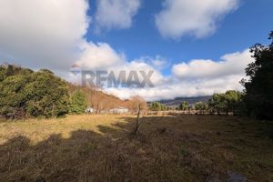
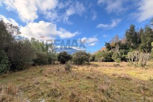
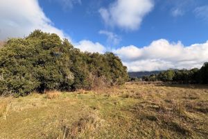
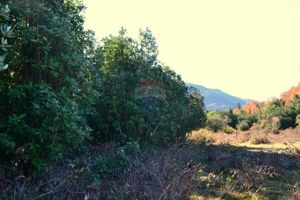
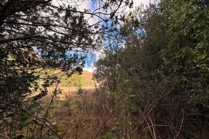
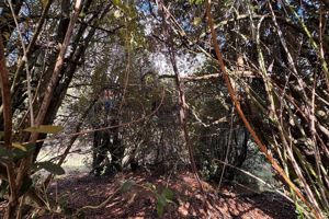
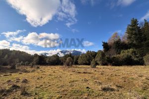
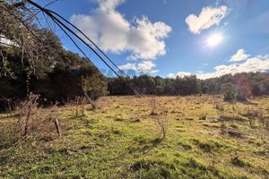
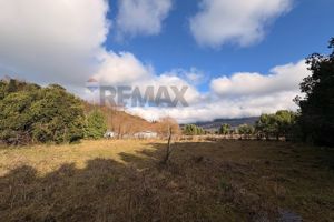
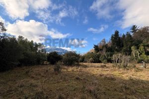
Curarrehue · La Araucanía · Chile
Flat lot for sale between Pucón and Curarrehue
Listed more than a year ago
Trust checklist
- Own SII property number (rol propio) Not stated by the seller What if it is sold as shares (acciones y derechos)?
- Approved subdivision / SAG certificate Not stated by the seller
- Registered at the Real Estate Registry (CBR) Not stated by the seller
- Non-indigenous land (Law 19,253) Not stated by the seller Why it matters
- Title study by a lawyer Not done yet. Request one before buying
Information stated by the seller, except the seals, which Parcelas Patagonia checks itself. Always confirm with a title study before signing.
Buying guides: What "rol propio" means · Undivided shares (acciones y derechos) · Water rights in Chile · Right of way (servidumbre) · Common scams when buying land
Land report
What the open data say about this location, calculated automatically.
Terrain
- Altitude: 378 m
- Slope: 19 % (moderate)
- Faces north-west: more hours of sun in the southern hemisphere
Volcanoes
- Nearest active volcano: Quetrupillán, at 16 km
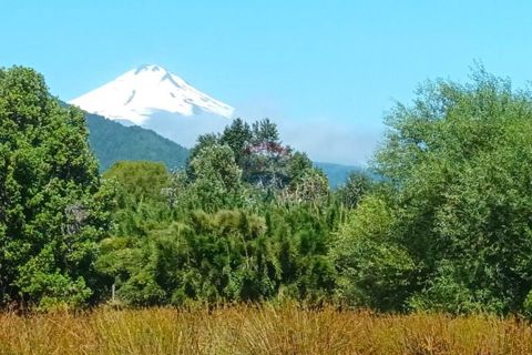
- Likely view of Quetrupillán (from the terrain only, without trees or buildings)
- No view of Villarrica (from the terrain only, without trees or buildings)
Check the volcanic hazard maps of SERNAGEOMIN.
Access
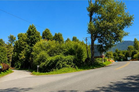
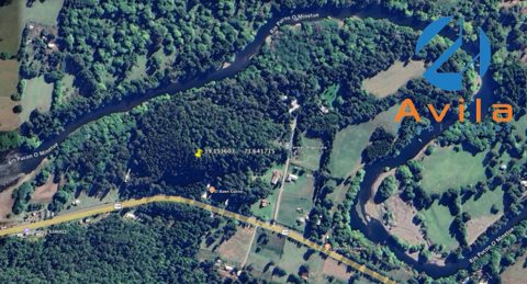
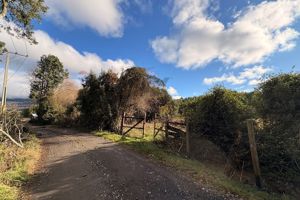
- Nearest mapped road: 30 m, gravel or dirt
- Curarrehue by car: 12 min (11.3 km)
Nearby services
- Supermarket: 9.6 km · Supermercado GyG
- Hospital or health centre: 10 km · Consultorio Curarrehue
- School: 870 m · Escuela Particular Catripulli
- Petrol station: 9.4 km · Shell
- Pharmacy: 23 km · Farmacias Pucón
Power
- No power line mapped within 1.5 km (OpenStreetMap does not have them all)
Automatic report of November 13, 2026, calculated on the location given in the listing. Distances are in a straight line, except the drive time. Open data: © OpenStreetMap contributors, SRTM (OpenTopoData), OSRM. For reference only: it does not replace a visit or a title study.
If you are buying from far away
- Nearest airportSan Martín de los Andes (Chapelco) (CPC) · ≈ 95 km
- Ski resortSki Pucón (Volcán Villarrica) · ≈ 20 km
- National parkParque Nacional Villarrica · ≈ 15 km
- Area5,190 m² = 0.52 ha = 1.3 acres
- InternetStarlink works throughout Chile and Argentina; check the mobile signal on site.
Straight-line, approximate distances. The airport shown has scheduled flights.
Services
Basic Services
Service information not specified. Contact us for more details.
Description
At a glance: House with land of 5,190 m² in Curarrehue, La Araucanía region. Asking price: CLP 29,900,000, about CLP 5,761 per m². It is about 12 minutes' drive from Curarrehue, at 378 m above sea level, on a marked slope. The Quetrupillán volcano can be seen from the land, 15 km away. The nearest airport is San Martín de los Andes (Chapelco), about 95 km away as the crow flies. Parque Nacional Villarrica is about 15 km away.
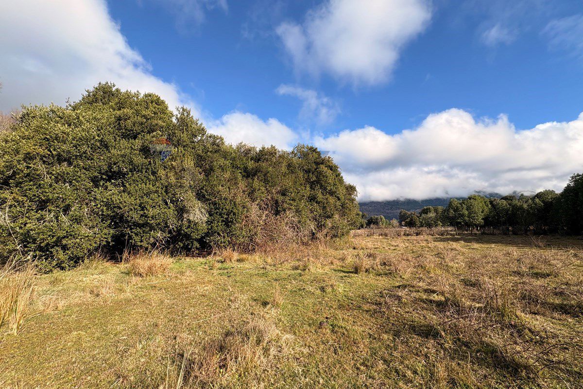
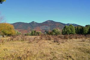
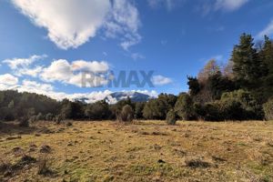
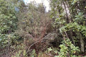
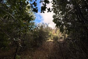
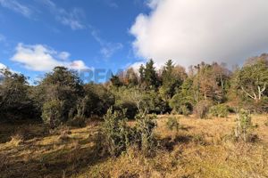
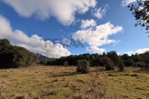
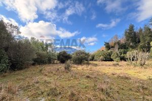
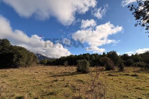
This 5,000 m² lot, with completely flat topography, offers the ideal conditions for building a permanent home, a second home, or a tourism venture, thanks to its prime location and the growing interest in this area due to its natural surroundings and proximity to the main tourist attractions in southern Chile.
Located just 800 meters from the CH-199 International Highway—the main route connecting Pucón with Curarrehue and the Mamuil Malal International Pass to Argentina—the property combines privacy and tranquility with excellent connectivity. From here, you can easily travel to Pucón, Curarrehue, Termas de Menetúe, Villarrica National Park, Huerquehue National Park, lakes, rivers, hot springs, hiking trails, and numerous other destinations perfect for enjoying year-round.
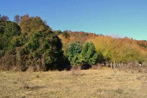
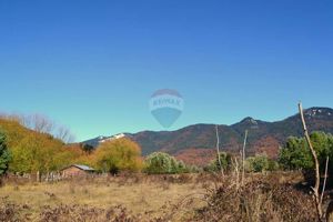
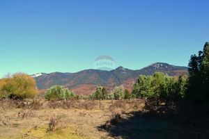
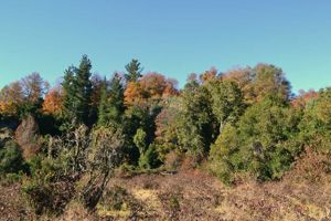
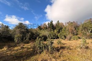
The property stands out for its beautiful, unobstructed views of the mountains, a setting surrounded by nature, fresh air, and native forests—features that make this place a perfect retreat for those who want to escape the hustle and bustle of the city without sacrificing good connectivity.
Additionally, it has power availability and rural drinking water (APR), which facilitates the development of future housing projects.
Key Features:
5,000 m² of fully usable land.
Completely flat topography.
Just 800 meters from the CH-199 International Highway.
Excellent connectivity between Pucón and Curarrehue.
Beautiful views of the mountain range and peaks.
A natural, peaceful setting of great scenic beauty.
Potential for power availability.
Water availability for Rural Drinking Water (APR).
Ideal for a permanent home, second home, vacation cabins, or investment.
The commune of Curarrehue has established itself as one of the most promising destinations in the lake region, thanks to its extraordinary natural heritage, its proximity to national parks, volcanoes, and hot springs, and a growing demand for lots that allow residents to enjoy a more peaceful lifestyle, connected to nature and offering ample development potential.
If you’re looking for a property with an excellent location, great potential, and a privileged setting, this lot is definitely worth a visit.
Contact me to request more information, review the available documentation, or schedule a visit. I’d be delighted to help you discover this property’s full potential.
Location
Before buying: title study
We review the last 10 years, and up to 30, at the Conservador de Bienes Raíces, with Osiadacz Abogados. Service in English.
Live far away?
We walk this plot with you by video call, have the title checked by a lawyer and guide you through the RUT and the signing.